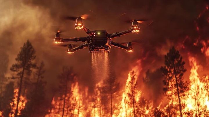
Firefighting Drones Guide to Modern Emergency Response and Wildfire Management
Emergency response organizations increasingly rely on advanced technologies to improve situational awareness, support faster decision-making, and enhance operational safety.
Among these innovations, firefighting drones have become valuable tools for monitoring fire incidents, assessing hazardous environments, and collecting real-time aerial information that can assist emergency teams. Whether responding to structural fires, industrial emergencies, or large-scale wildfires, drones provide perspectives that are often difficult to obtain safely from the ground.
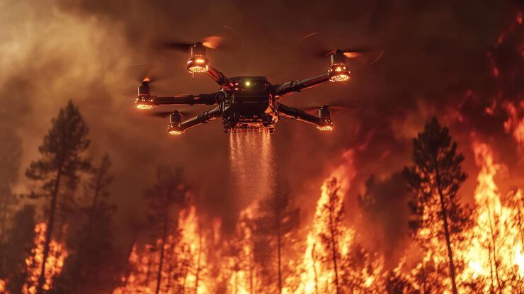
As unmanned aerial technology continues to advance, firefighting drones now incorporate thermal imaging, artificial intelligence, high-resolution cameras, and autonomous flight capabilities that improve emergency operations. Understanding how these systems work helps emergency planners, public safety professionals, researchers, and technology enthusiasts appreciate their growing role in modern incident management. This firefighting drones guide explains the fundamentals of firefighting drone technology, operational features, practical applications, planning considerations, and emerging trends shaping emergency response.
This article explores firefighting drone basics, key technologies, emergency applications, wildfire management, operational considerations, decision-making factors, and future developments in aerial emergency support.
What Are Firefighting Drones?
Firefighting drones are unmanned aerial systems designed to support emergency response operations by providing aerial observation, environmental monitoring, mapping, and data collection during fire-related incidents.
Rather than replacing firefighters, these aircraft complement ground operations by supplying information that assists incident commanders in understanding changing conditions and coordinating response efforts.
Depending on the mission, drones may carry thermal imaging cameras, optical cameras, environmental sensors, communication equipment, or mapping systems that provide valuable operational information.
They are increasingly used by fire departments, emergency management agencies, forestry organizations, disaster response teams, and research institutions.
How Firefighting Drones Support Emergency Response
Firefighting drones improve situational awareness through rapid aerial observation.
During an incident, a drone can survey affected areas, identify fire boundaries, monitor smoke movement, and locate potential hazards that may not be visible from ground level.
Thermal imaging technology helps detect heat signatures, allowing responders to identify hotspots, monitor fire progression, and evaluate areas that require closer attention.
Live video transmission enables command personnel to observe conditions in real time and coordinate resources more effectively.
These capabilities support informed operational planning while reducing unnecessary exposure to hazardous environments.
Key Technologies Used in Firefighting Drones
Modern firefighting drones combine several advanced technologies.
Thermal Imaging Cameras
Thermal sensors detect temperature differences that help identify hotspots, hidden fire activity, and residual heat after suppression efforts.
High-Resolution Optical Cameras
Optical imaging systems provide detailed visual information for mapping, damage assessment, and operational planning.
GPS and Navigation Systems
Satellite navigation supports accurate positioning, route planning, and repeatable flight operations during emergency missions.
Artificial Intelligence
Artificial intelligence assists with object recognition, automated mapping, image analysis, and identifying patterns that may support emergency decision-making.
Real-Time Communication Systems
Wireless communication enables drones to transmit live images and operational data directly to incident command personnel.
Applications in Wildfire Management
Wildfire management has become one of the most important applications for firefighting drones.
Drones can rapidly map wildfire perimeters, monitor fire spread, and observe changing environmental conditions over large areas.
Thermal imaging assists in identifying smoldering hotspots that may remain active after visible flames have diminished.
Aerial monitoring also helps evaluate vegetation conditions, access routes, and terrain that may influence firefighting operations.
Following wildfire containment, drones support damage assessment and environmental monitoring during recovery activities.
These applications provide valuable information throughout different stages of wildfire response.
Benefits for Emergency Operations
Firefighting drones contribute several operational advantages.
Aerial observation improves situational awareness while helping emergency personnel evaluate rapidly changing conditions.
Remote monitoring allows responders to gather information from hazardous locations without immediately placing personnel in high-risk environments.
High-resolution mapping supports resource planning and incident documentation.
Thermal imaging provides visibility through smoke and low-light conditions that may limit conventional observation methods.
Digital data collected during operations can also assist training, post-incident analysis, and future emergency planning.
These capabilities enhance operational efficiency while supporting responder safety.
Operational Considerations
Successful drone deployment requires careful planning.
Weather conditions such as strong winds, heavy rain, or dense smoke may influence flight performance and visibility.
Battery endurance affects mission duration and may require coordinated flight scheduling during extended incidents.
Airspace coordination is essential, particularly when helicopters or fixed-wing firefighting aircraft are operating nearby.
Operators must also follow applicable aviation regulations, emergency procedures, and organizational operating protocols.
Regular equipment maintenance and ongoing pilot training contribute to reliable operational performance.
These considerations help ensure safe and effective drone operations.
Decision Guide: Understanding Firefighting Drone Capabilities
Selecting the best firefighting drones depends on mission objectives, flight endurance, sensor capabilities, payload capacity, communication range, environmental conditions, and integration with emergency response systems.
Organizations focused on wildfire monitoring often prioritize long flight durations and advanced thermal imaging, while urban fire departments may emphasize rapid deployment, maneuverability, and real-time video transmission. Disaster response teams may also value mapping accuracy and compatibility with incident management software.
A firefighting drones comparison generally evaluates flight stability, imaging technology, operational range, navigation systems, environmental resistance, battery performance, ease of deployment, and data integration capabilities.
In many cases, drones equipped with multiple sensor systems tend to work well because they provide broader situational awareness across diverse emergency environments.
The real difference appears when drone capabilities align closely with operational requirements, environmental conditions, and emergency response objectives.
Emerging Trends in Firefighting Drone Technology
Drone technology continues advancing rapidly within emergency management.
Artificial intelligence is improving automated fire detection, hotspot identification, and predictive fire behavior analysis.
Swarm technology is being researched to enable multiple drones to coordinate aerial monitoring across larger incident areas.
Improved battery technologies and hybrid power systems aim to increase flight endurance for extended operations.
Enhanced communication networks support more reliable real-time data sharing between drones and emergency command centers.
Researchers are also exploring advanced environmental sensors capable of monitoring air quality, hazardous gases, and atmospheric conditions during fire incidents.
These innovations continue expanding the role of drones in modern emergency response and wildfire management.
Frequently Asked Questions
1. What are firefighting drones?
Firefighting drones are unmanned aerial systems used to support emergency response through aerial observation, thermal imaging, mapping, and real-time information gathering.
2. How do firefighting drones assist during wildfires?
They help monitor fire spread, identify hotspots, map affected areas, observe terrain, and provide real-time aerial information for incident management.
3. What technologies are commonly used in firefighting drones?
Common technologies include thermal imaging cameras, optical cameras, GPS navigation, artificial intelligence, communication systems, and mapping software.
4. Why are thermal imaging cameras important?
Thermal imaging detects heat signatures, helping responders identify hotspots, monitor fire behavior, and evaluate conditions through smoke or low-light environments.
5. What factors should be considered when evaluating firefighting drones?
Mission objectives, sensor capabilities, flight endurance, operational range, communication systems, weather performance, and regulatory compliance should all be carefully considered.
Conclusion
Firefighting drones have become valuable tools for supporting modern emergency response by improving aerial observation, wildfire monitoring, and situational awareness. Understanding their technologies, operational capabilities, and practical applications helps illustrate how unmanned aerial systems contribute to safer and more informed emergency management. This comprehensive firefighting drones guide highlights the importance of thermal imaging, intelligent monitoring, and real-time data collection in strengthening wildfire management and emergency planning. As drone technology continues evolving, firefighting drones will play an increasingly important role in supporting emergency responders and protecting communities from fire-related hazards.